What do you do in the shoulder season? Go scrambling! Kyle and I invited ourselves along with Em, Trev and Owen for a great day out in the mountains. We met at the petro-can at the crack of 9:15 (significantly earlier than Emily's original plan of 10:30) and piled into the Subaru to hit the road. As we drove towards the mountains, they looked very snowy, and our original plan of trying the Middle Sister in Canmore seemed like a bad idea. Kyle frantically searched the scrambling book for something short and easy that we could do in the snow and still make it back to Calgary for Owen's plans at five. We settled on Grizzly Peak just before we hit the highway 40 turnoff (just in time). It is a 7km easy scramble just before the highway 40/Spray Lakes Road intersection. It has 900m of elevation gain and none of us had done it before. It ticked all the boxes.
 |
| View of Mt. Packenham and Mount Hood with lots of wind off the ridge |
The trail was easy to follow and started climbing immediately from the car. The path contours around the south end ( right side) of Grizzly Peak and gains the col between Grizzly and Evan Thomas. There was one main fork, marked with some orange flagging in a tree. We took the upper (left) trail that climbed a few short rock steps then followed a narrow path through small plants and grass contouring across a big open slope. We hit a bit of snow here, but the main snow line was just above.
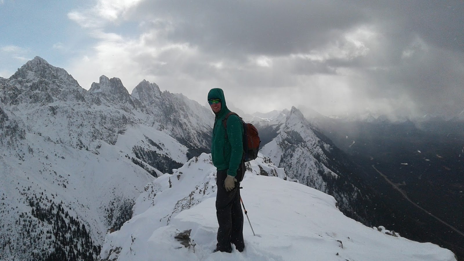
 |
| Owen looking stylish as always |
As we climbed above the snowline, we lost the trail and started breaking our own up towards the col. The snow was drifted knee deep in places, and the ground was wind-scoured and slippery with ice in others. We chose to ascend a steep ridge to gain the col. Having hiking poles made a huge difference on the steep icy scree.
 |
| Making our way up the snow slopes to the col between Grizzly and Evan Thomas |
 |
| Views down the valley |
 |
| Cold and windy at the col |
At the col, we were barely able to catch our breath after the steep slog up the ridge. The wind was howling and it was cold! We hurried to put on layers, hanging on tight so that they wouldn't blow away. It was pretty uncomfortable and we got moving immediately. We could have been a bit more prepared for the cold and snow.
 |
| The final approach to the peak |
We climbed the last snow slope to the summit ridge. It looked like some nasty weather was heading our way from south toward Kananaskis Lakes, but we had amazing views from the top. To reach the true summit, you have to cross a short narrow section of exposure, but everyone navigated it with ease. We reached the top in 1:45 from the car.
 |
| Final push to the summit with Kananaskis Lake in the background |
 |
| Kyle breaks trail to the top |
 |
| Small section of exposure to the top |
 |
| Emily on her way up |
 |
| Kyle at the top of Grizzly Peak |
After a short stop on the summit, it was a speedy decent back to the col, glissading through shin deep snow. Instead of heading back down the way we had come up, we chose to continue down a snow gully which was much more enjoyable (although it would have been awful to go up). We passed a few others who were on their way up and warned them about the high winds on top. After a brief stop for lunch, tea and chocolate under a tree, we continued down and out of the snow. We took an alternate trail down and ended up in the cliff bands below the open slopes we had traversed on the way up. It turned out to be a much more difficult way across and involved more scrambling. This is the way that you would end up going if you took the right fork below the first rocky cliff bands on your way up the trail. It wasn't too technical but was much slower than traversing the grassy slope.
 |
| Descending the snow gully |
 |
| Down climbing through the cliff bands (below the main trail) |
We arrived back at the car in 3:30 round trip. Despite the snow, we were able to make quick work of Grizzly Peak. What a great way to spend a beautiful October Saturday! There is definitely snow out there and I am really excited for ski season.


No comments:
Post a Comment